Data Re-Sell
Detailed aerial images available of Northern Ireland
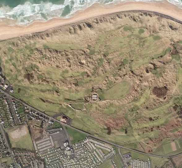
Do you need clear and detailed aerial images for your business? At BKS (NI) Ltd, we have you covered. Give us a call today.
Data re-sell
This is a new part of our business where we re-sell the GIS data to our clients if required. We provide the airborne LiDAR data to other business to analyse, manipulate and manage the data for their own needs. If you need detailed information about an archaeological site in the UK, contact us today.
Contact us
Historical Imagery
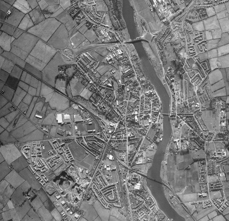
BKS (NI) hold a limited amount of historical Imagery of the local area, both vertical and oblique, dating back over 40 years. BKS (formerly BKS surveys) came to Coleraine in 1965 but unfortunately a lot of their early imagery was destroyed. We have available to purchase historical photography of Coleraine town dating back to 1960, 1973 & 1998.
NEXTMap Data of Ireland
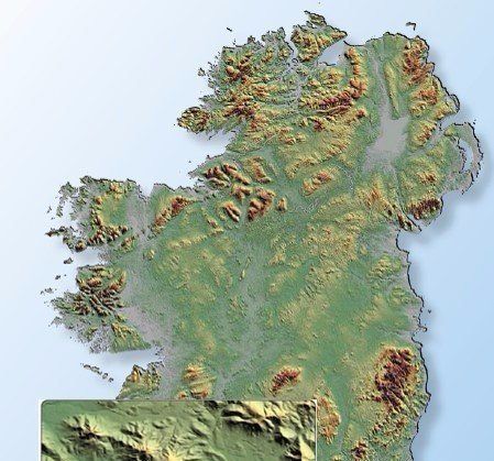
InterMap Technologies (USA) have produced an ‘off-the-shelf’ elevation model for the entire island of Ireland using an InSAR airborne radar mapping system. The terrain data can be supplied as a 5m grid DSM (all features) and/or 5m grid DTM (bare earth). Vertical accuracy of ±1m RMSE. From this 1m contour datasets can be derived. BKS (NI) have access to download this data directly which provides a fast, lower accuracy, cheaper solution to LiDAR. Can be used for preliminary wind farm design, environmental, and preliminary flood analysis.
Minimum order size is 2 square kilometers.
Off-the-shelf Aerial Imagery
and LiDAR products
and LiDAR products
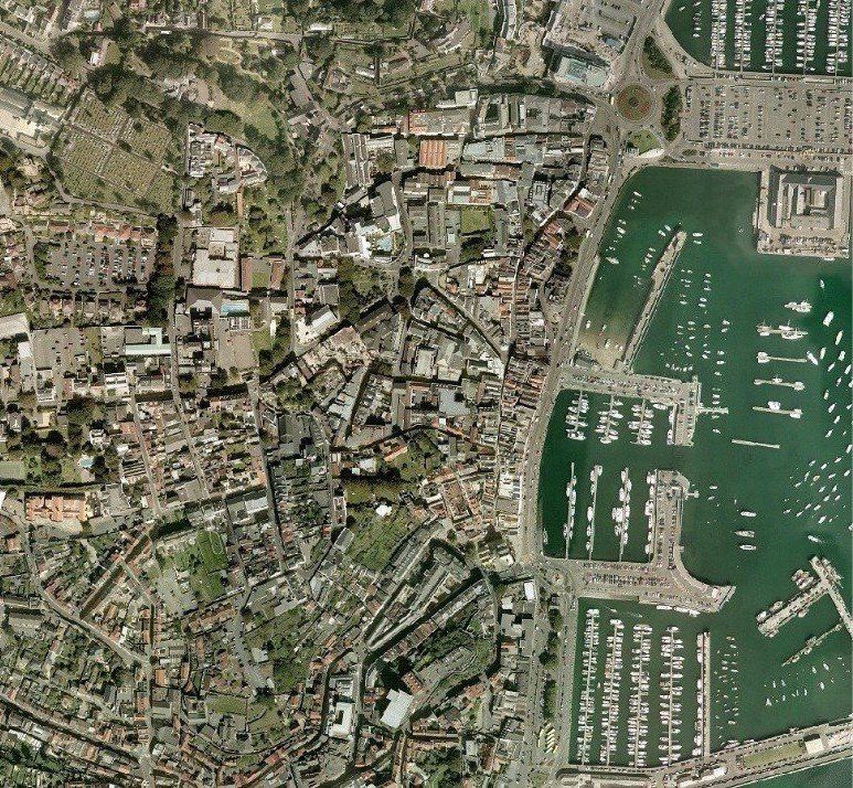
We hold an archive of existing ‘off-the-shelf’ aerial photography and LiDAR data acquired for various clients over the years. Mainly covering the island of Ireland this photography and data can be purchased with a quick delivery and at a much lower cost than having to acquire it as new.
Land and Property Services NI (OSNI) Imagery of Northern Ireland
We hold a contractual agreement with the Land and Property Services of NI (formerly Ordnance Survey NI) which permits us to distribute under licence their current and historical Orthophotography and Enhanced Digital Terrain Model covering the whole of Northern Ireland. Provides important legal evidence in boundary disputes. A vertical photography showing a specific area of interest anywhere in NI, like a farm or dwelling, can be purchased.
Need aerial view and mapping information
within the United Kingdom?
within the United Kingdom?
Call us now on
028 7032 8100
Get in touch

© 2024. The content on this website is owned by us and our licensors. Do not copy any content (including images) without our consent.