
Have a question? Contact us!
Say hello
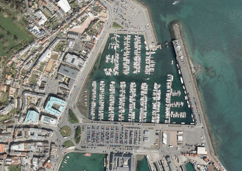
A trusted company for all your aerial survey needs
We area highly respected supplier of Aerial and LiDAR surveys based in Coleraine, Northern Ireland.
offering professional aerial and LiDAR surveys for customers nationwide across the UK.
There are numerous traditional and modern methods to collect aerial data. Therefore we can provide aerial photography, photogrammetric and topographic mapping, LiDAR surveys, 3D Building Models, Orthophotography, Satellite Interpretation and other GIS Services.
We offer quality and affordable options and are completely customer focused. We are more than happy to advise customers on the best solutions to meet their needs with regards specification and budget. Our workforce boasts an average of experience of over 25 years in the aerial survey and mapping industry.
Survey & Mapping Services
- Topographical Mapping thats mainly used for Urban Planning and Environmental applications
- Vertical Imagery thats mainly used for Forestry and Agriculture analysis as well as Environmental type applications.


Highly skilled team
We are a highly qualified team who have extensive knowledge and skills in carrying out efficient airborne surveys.
Data re-sell
Get in touch with us today to discuss your requirements and we will take care of everything with ease.
Find us:
Need aerial view and mapping information
within the United Kingdom?
within the United Kingdom?
Call us now on
028 7032 8100
Get in touch

© 2024. The content on this website is owned by us and our licensors. Do not copy any content (including images) without our consent.